5.1 Case Study: River Shannon
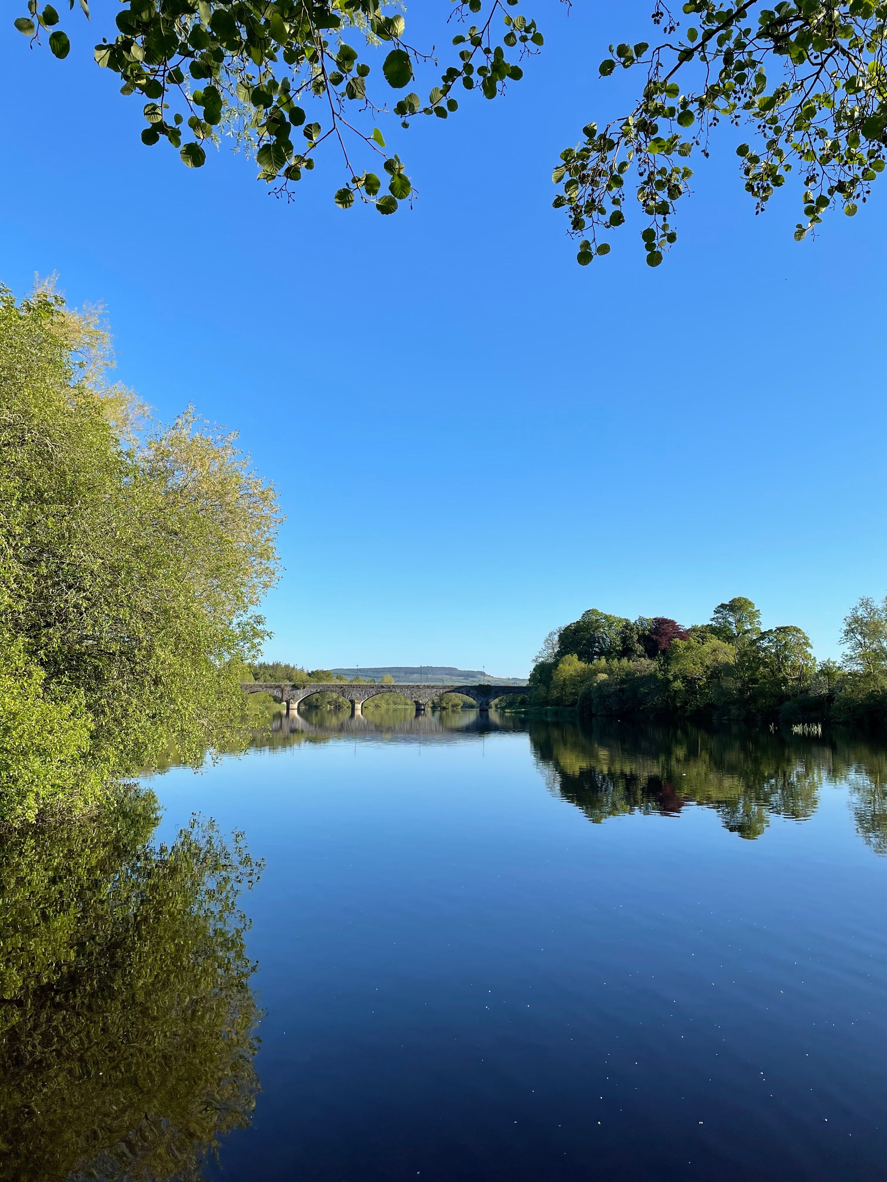
The River Shannon is situated on the west coast of Ireland and runs north to south from County Cavan down through County Kerry. It is the longest river on the Island of Ireland, measuring 386 kilometers in length (Banting 2002, 8). It flows downwards from County Cavan to the mouth of the Atlantic Ocean via Limerick city. Along the way, the River Shannon passes through three major lakes: Lough Allen, Lough Ree and Lough Derg. There are many towns, villages and cities that line the River Shannon as well, including some you may have heard of, such as Enniskillen in county Fermanagh, Athlone on the border of Counties Roscommon and Westmeath, Killaloe on Lough Derg in County Clare, and Limerick city in County Limerick.

Where does the River Shannon begin? Believe it or not, there is more than one theory on the matter; the discrepencies in pin-pointing where the River Shannon begins tells us more about the significance of both cultural belief systems as well as geographic discovery and exploration. There are variations of the mythical tale of the origins of the River Shannon:
One such story suggests that the beginning of the River is at the Shannon Pot, a small pool of water situated in County Cavan. It is said that the river is named after Síonnan (the granddaughter of Lír, the Celtic god of the sea) who visited the pool of the Shannon Pot to catch the Salmon of Wisdom (Gibling 2021, 112; Cuilcagh Lakelands Geopark n.d.). The story goes that the Salmon of Wisdom was angered, and streams were created that both developed the River Shannon, exiting into the Atlantic Ocean, drowning Síonnan in the process.
The other theory, put forth through academic research undertaken by geologists and geographers, is that the River Shannon actually begins at Cuilcagh Mountain. This is because much of the bedrock of Ireland is made up of limestone, formed from glaciers, that allows for underground sinkholes and caves as well as underground streams where water flows (Gibling 2021, 112). Much of the northern portion of the River Shannon is thus actually underground, and surfaces above through a limestone sinkhole in the small pool of Shannon Pot that appears smooth and still (Gibling 2021, 112). Streams and rivers that flow from Cuilcagh Mountain seep into blanket bogs, and then underground into limestone bedrock, moving through networks of hidden caves before resurfacing at Shannon Pot (Cuilcagh Lakelands Geopark 2022; Shannon Pot, Cuilcagh Lakelands Geopark 2021).
Through the story of the Síonnan, we can see how people have made sense of the emergence of the largest river in Ireland, but we can also see how the physical landscape itself tells other stories, connecting the River Shannon that humans can feel and touch with a deeper network that runs underground, and connects with other major geographical features such as major mountains and bogs.
People and the River
Over time, the River Shannon has had many different purposes and functions, often simultaneously. Of course, being a river that connects large swaths of the island from north to south along the western coast, it has been an important point of trade and settlement across centuries. The river was always a major attraction for settlers to trade, beginning as far back as before Viking settlement in the mouth of the River Shannon in the ninth century, including the trade of coins and other metals (The Hunt Museum 2022). You may see some similarities here in relation to the settlement patterns of Dublin on the eastern coast, which was also established by Vikings in the same period – this is an attribute that both the River Liffey and the River Shannon share, underscoring the significance of waterways to trade, settlement and colonialism.

Throughout the River Shannon, its inhabitants past and present have used the river as a source of recreation and sport. For example, along the river and in the three major connecting lakes, you will find a range of activities including boating, fishing, kayaking and swimming. Those who fish on the river may find trout, salmon, and pike. Tourists also take day trips or stay in hotels along the river and in its lakes, with well-known summer destinations including Killaloe, which brings local and foreign tourists each summer to stay in the beautiful lakeside resorts.
Perhaps the River Shannon has had the greatest impact on the nation at large in the early twentieth century, when the Ardnacrusha power station in County Clare was developed. It was initially proposed by Thomas McLaughlin in 1925 and built in 1927; known as the Shannon Hydroelectric Scheme, the damming of the River Shannon provided energy throughout the Republic, and employed 5,000 workers in its construction. It brought light to cities and towns, as well as heat and power in the early to mid twentieth century. We can see the real impacts that the river itself provided to the making of modern life across the island in the twentieth century, bringing amenities ranging from electric lamps to electric irons.
Interactive Activity: Notable locations along the River Shannon
Click on any of the green symbols below to learn about various locations along the River Shannon!
Figure 5.5 Map showing the different waterways of Ireland and main county towns. © lesniewski, www.adobestock.com. View source. This photograph is included under Adobe’s Education Licence – Standard Image terms.
